

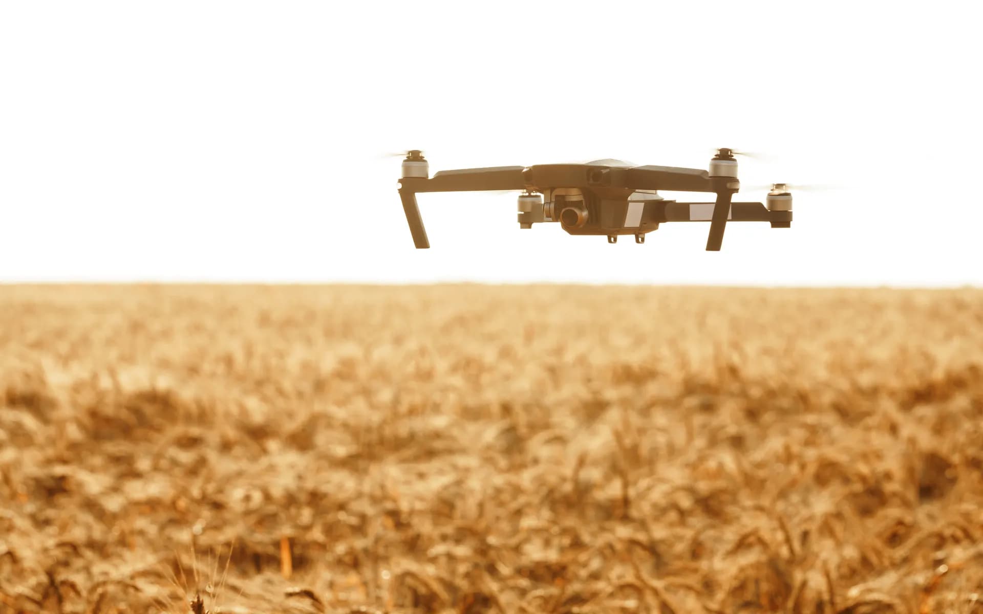
The Tractor Knows Everything, the Office Knows Nothing
A modern field operation generates rich data on every pass: exactly where the implement went, how much seed or fertiliser it placed, where it overlapped, and what the yield monitor recorded at harvest. But that data is locked in the terminal in the cab, in a vendor format that does not talk to the next machine, and it never reaches the agronomist who could use it. So inputs are applied uniformly when they should be variable, overlaps waste seed and chemical, and yield is a single number per field instead of a map. This is the telematics that pulls it together: centimetre-accurate position from RTK GNSS, implement data fused over ISOBUS, and coverage and yield maps the whole operation can see.
One layer of the full Telematics and GPS Tracking platform, working closely with Agriculture Tractor Tracking.
WHAT'S INCLUDED
From RTK Fix to Agronomy Map
RTK and GNSS Positioning
Positioning is built around multi-band GNSS receivers using a u-blox front end with RTK corrections, locking the tractor to a few centimetres. The NTRIP correction stream runs over the cellular link and falls back gracefully when the base or network drops, so guidance does not wander mid-pass.
Implement Sensor Fusion
The implement is read alongside the tractor. Seed and fertiliser rates, section control state, depth, and lift status come in over ISOBUS and CAN, fused with position so every point in the field carries what was actually done there rather than what was planned.
Coverage and Overlap Mapping
An as-applied coverage map renders in real time, showing exactly where the implement worked and where it overlapped or skipped. The operator sees gaps before they cost a re-pass, and the office sees true worked area rather than an estimate.
Yield Mapping
At harvest the yield monitor flow and moisture data are fused with RTK position to build a yield map per field. Layered against the as-applied maps, it shows which inputs paid off and where the field underperformed, which is the basis for variable-rate planning next season.
Rugged In-Cab Hardware
The cab is dust, vibration, and heat. Sealed in-cab units are built to IP67 with wide-temperature components and a Quectel cellular modem, designed to survive the season and keep reporting from fields with marginal coverage.
Farm Dashboard and Data Export
The dashboard maps every machine, field, and pass, and exports clean as-applied and yield data in formats your agronomy and farm-management software can read. The data leaves the cab and reaches the people who plan the next crop.
THE PRECISION STACK
Why Centimetres and ISOBUS Matter
Precision agriculture lives and dies on two things: knowing exactly where the implement is, and knowing exactly what it did. Both are engineered into the stack, so the maps you get are accurate enough to drive variable-rate decisions rather than just pretty pictures.
RTK Accuracy
Standard GNSS is good to a few metres, which is useless for guidance and overlap control. RTK corrections bring it to a few centimetres, the difference between row-level accuracy and a wasted pass. The NTRIP stream and the fallback are managed end to end.
ISOBUS Context
ISO 11783, known as ISOBUS, is the standard that lets the tractor and implement talk. Task and rate data are read off the ISOBUS so an implement from one brand reports cleanly behind a tractor from another, and the as-applied data is consistent across mixed kit.
Sensor Fusion
GNSS position is time-aligned with implement and machine CAN data so each map point reflects the real state at that instant. Without this fusion a coverage map is just a track line, with it the map carries rate, depth, and section status.
HOW IT WORKS
From the Field to the Plan
Capture in the Cab
The in-cab unit fixes position with RTK GNSS and reads the implement over ISOBUS, building a time-stamped record of every point worked, with rate, depth, and section state.
Map and Stream
Coverage and as-applied maps render live for the operator and stream to the cloud over the cellular link, buffering locally when a field has no signal and forwarding when it returns.
Plan the Next Crop
Yield maps layered against as-applied data feed variable-rate prescriptions and agronomy decisions, exported to your farm-management software so the data drives the next season.
FAQ
Common Questions
Is an RTK base station required?
Not necessarily. A network RTK service over NTRIP works where one covers your region, which needs no base of your own, or a local base can be set up for areas with no network correction. Either way the correction stream and the fallback are managed so guidance stays locked to a few centimetres.
Will it work with your mix of tractor and implement brands?
That is exactly what ISOBUS is for. Because task and rate data are read off the ISO 11783 bus rather than a single vendor terminal, an implement from one brand reports cleanly behind a tractor from another. For older non-ISOBUS kit the available CAN or sensor signals are read directly.
How accurate does the as-applied data need to be?
For variable-rate and section-control decisions you want row-level accuracy, which means centimetre-class RTK position fused with the implement rate and section state. Anything coarser produces maps that look fine but cannot drive a real prescription, so the precision stack is built to that standard.
What happens in fields with no cellular coverage?
The in-cab unit keeps capturing and mapping locally and buffers everything, then forwards to the cloud when it regains signal at the headland or on the road. You lose no data, and guidance does not depend on the cloud link at all since RTK corrections can come from a local base.
Can the data feed your existing farm-management software?
Yes. As-applied and yield data are exported in the common interchange formats that agronomy and farm-management platforms read, and the data can be pushed over an API. The goal is that the field data reaches your existing planning tools so you can keep the tools you already use.
How does yield mapping connect to next season?
At harvest the yield monitor flow and moisture readings are fused with RTK position to build a yield map. Layered against the as-applied maps from the season, it shows where inputs paid off and where the field underperformed, which becomes the basis for the variable-rate prescription you write for the next crop.
Ready to Turn Field Passes into Decisions?
Share your machines, your implements, and the maps you wish you had to get a precision telematics stack mapped out from RTK position to yield map.
Schedule a Free Consultation